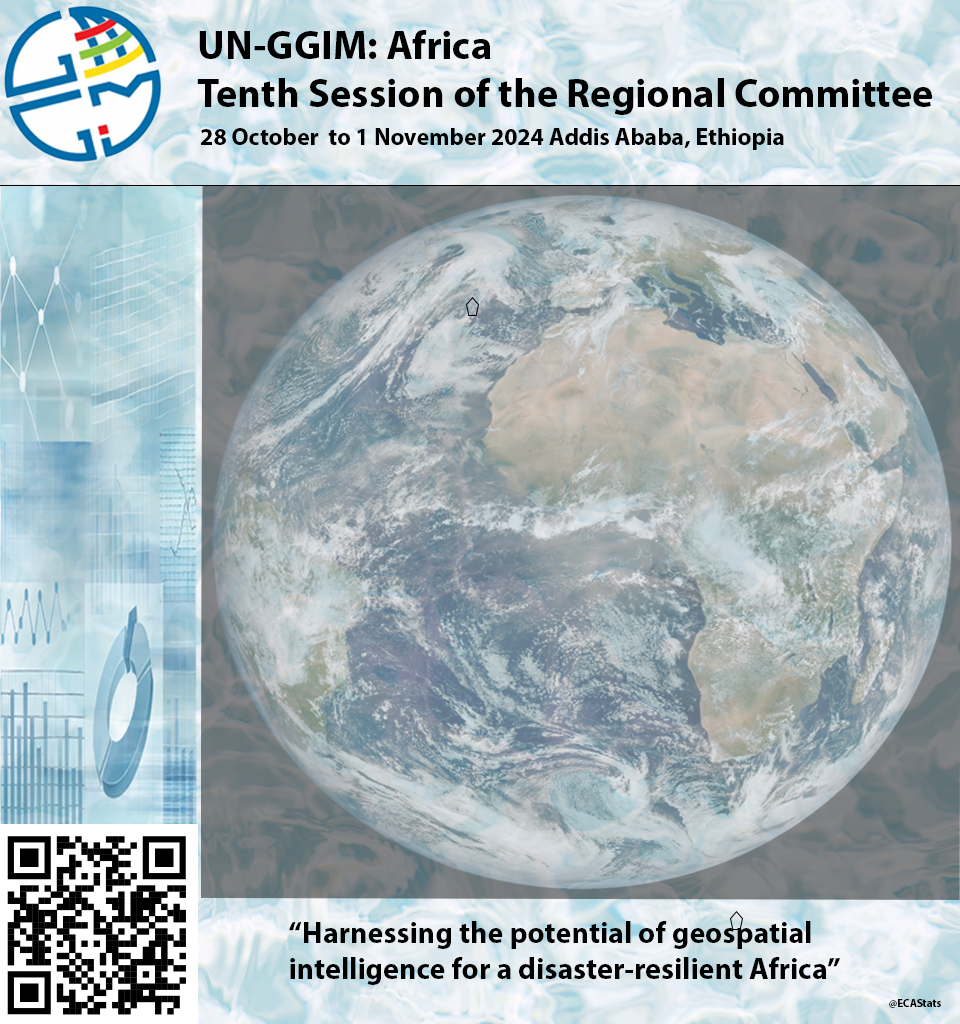
The Regional Committee of United Nations Global Geospatial Information Management for Africa has been established to oversee geospatial development in Africa and to contribute to the larger global geospatial information management effort. Substantial progress has been made by the Regional Committee in generating momentum and demonstrating the commitment of the continent to that effort. In order to engage with policymakers in Africa effectively and further strengthen the initiative to use geospatial information as a catalyst for sustainable development, the Executive Board of the Regional Committee is organizing the tenth meeting of the Regional Committee, which will be held in Addis Ababa from 28 October to 1 November 2024, as a back-to-back event with the ninth session of the Statistical Commission for Africa and the fourth Expert Forum for Producers and Users of Disaster-related Statistics.
The three parallel and interlinked events will facilitate dialogue and knowledge-sharing among professionals, policymakers, researchers and practitioners involved in statistics, geospatial information and disaster risk management in Africa. Events to maintain and strengthen the synergies among the geospatial, statistical and disaster risk management communities will allow for interaction, networking and the cross-fertilization of ideas among those communities, with a view to creating a shared vision for the cooperative management of national development data and information.
The ninth session of the Statistical Commission and the tenth meeting of the Regional Committee will be attended by directors of African national statistical offices and representatives of regional economic communities, regional statistical training centres, heads of national mapping agencies, pan-African institutions and various partners in disaster, statistical and geospatial information. In line with the implementation of the Data Strategy of the Secretary-General for Action by Everyone, Everywhere, participants will deliberate and discuss data flows at the national and continental levels to respond to the needs of the Sustainable Development Goals.
The tenth meeting of the Regional Committee will provide an opportunity to foster collaboration and partnership among countries in Africa, with the ultimate goal of promoting the effective use of geospatial information in decision-making processes. By addressing critical challenges in geospatial information management and exploring new possibilities for leveraging geospatial data, the participants will work towards achieving sustainable development goals in Africa.
In addition, the meeting will serve as a valuable platform for sharing knowledge and innovations in geospatial technology and applications, and for promoting the integration of geospatial information into national development plans and policies. Accordingly, the formal segment of the tenth meeting will be followed on 1 November by a workshop on the integration of geospatial and statistical information.
The enriching exchanges and presentations that will occur at the meeting will help representatives of countries in Africa to harness geospatial information for the benefit of their people and the continent, which is a goal that the Executive Board is committed to supporting.
Documents
- Information Note - [English] [Français]
- Concept Note - [English] [Français]
- Draft Programme of Work - [English] [Français]
- Provisional Agenda - [English] [Français]
- Report on the activities of the Regional Committee (Agenda Item 5) - [English] [Français]
- Review of the activities of the executive working groups and thematic networks - [English] [Français]
- Status of integration of geospatial and statistical information in Africa - [English] [Français]
- Overarching geospatial information governance for Africa - (Agenda Item 4) [English] [Français]
- Report on the activities of the Regional Committee (Agenda Item 3) [English] [Français]
- Geostatistics for the development of urban spatial frameworks in Africa: case study of Luanda [English] [Français]
UN-GGIM Servey https://arcg.is/1H9mO51

